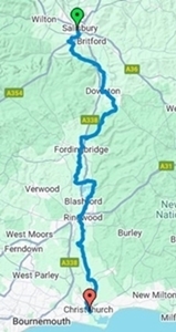
Christchurch to Salisbury
The route is waymarked with the symbol of a bridge within an arrow.
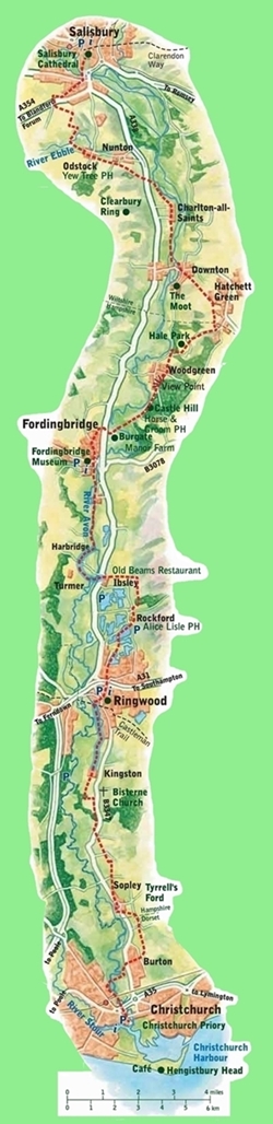
The diagram on the left hand side of this page has been taken
The route is covered by Ordnance Survey Explorer Maps
I had previously walked most of the path from Salisbury to the
I have presented my photographs in sequence as the walk progresses,
Additional information has been added for interest.
Avon Valley Path
![]()
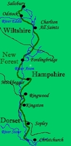
The Avon Valley Path is a designated route running 34 miles between
Salisbury in Wiltshire and Christchurch in Dorset.
![]()
![]()
![]()
from the official brochure which is currently out of print.
OL22 (New Forest) and 130 (Salisbury and Stonehenge)
at a scale of 1:25,000, being 4cm = 1km.
other side of Ringwood. I came to realise that, as a consequence of
facing south, the sun was in my face making it difficult to appreciate
the views. Also, it meant taking photographs into the sun thus often
bleaching out the subject. It is for those reasons that I decided to
walk from south to north.
and it is intended as a record of my walk as it was taken, as well as
a guide to anyone taking the walk in future.
The map references given with each photograph refer
to the point at which each photograph was taken.
![]()
![]()
![]()
![]()
![]()
![]()
Return to the top of the page.