Avon Valley Path
Part 5b : Downton to Charlton All Saints
Previous section
![]()
![]() Next section
Next section
![]()
![]() Index
Index
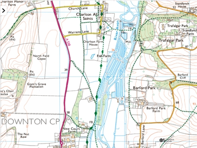 |
Charlton All Saints. | ||||||||||||||||||||||||||||||||||||
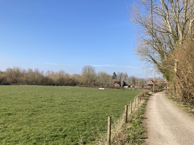 |
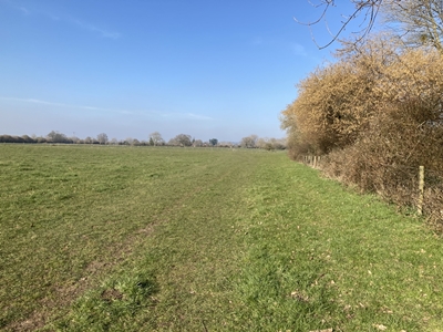
Gravel Close, continue ahead on the track that runs alongside a meadow. OS Ref : SU.1743.2197
Photo : AVP-5b-1 Date : 5 March 2025 | ||||||||||||||||||||||||||||||||||||
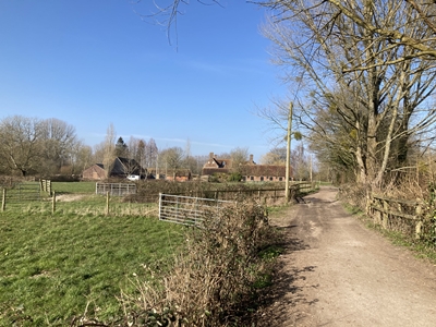 |
OS Ref : SU.1743.2208
Photo : AVP-5b-2 Date : 5 March 2025 | ||||||||||||||||||||||||||||||||||||
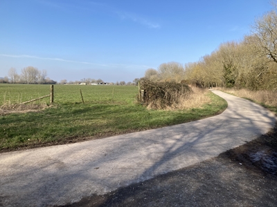 |
and follow the concrete driveway. Other footpaths connect on each side at this point. OS Ref : SU.1748.2220
Photo : AVP-5b-3 Date : 5 March 2025 | ||||||||||||||||||||||||||||||||||||
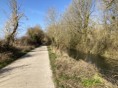 |
a channel of the River Avon. OS Ref : SU.1754.2232
Photo : AVP-5b-4 Date : 5 March 2025 | ||||||||||||||||||||||||||||||||||||
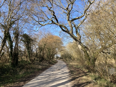 |
OS Ref : SU.1756.2249
Photo : AVP-5b-5 Date : 5 March 2025 | ||||||||||||||||||||||||||||||||||||
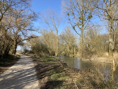 |
OS Ref : SU.1756.2257
Photo : AVP-5b-6 Date : 5 March 2025 | ||||||||||||||||||||||||||||||||||||
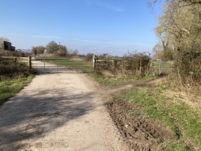 |
turn right and pass through a pedestrian kissing gate into a field. OS Ref : SU.1756.2258
Photo : AVP-5b-7 Date : 5 March 2025 | ||||||||||||||||||||||||||||||||||||
 |
right hand side of the field. OS Ref : SU.1757.2265
Photo : AVP-5b-8 Date : 5 March 2025 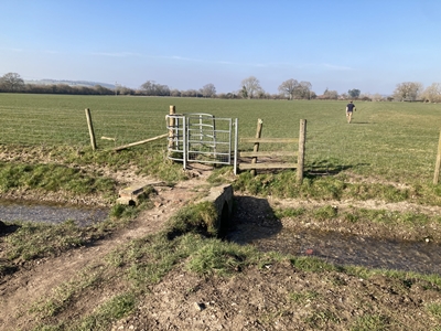 through the kissing gate. OS Ref : SU.1764.2324
Photo : AVP-5b-9 Date : 5 March 2025 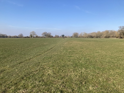 OS Ref : SU.1765.2327
Photo : AVP-5b-10 Date : 5 March 2025 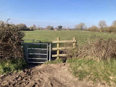 into the next field, maintaining the straight line. OS Ref : SU.1766.2347
Photo : AVP-5b-11 Date : 5 March 2025 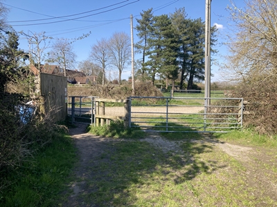 the kissing gate onto a gravel track OS Ref : SU.1767.2366
Photo : AVP-5b-12 Date : 5 March 2025 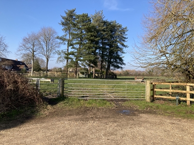 go through the kissing gate and turn right. OS Ref : SU.1767.2368
Photo : AVP-5b-13 Date : 5 March 2025 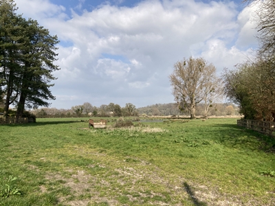 passing to the right of the trees. OS Ref : SU.1769.2369
Photo : AVP-5b-14 Date : 5 March 2025 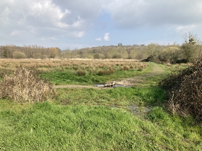 OS Ref : SU.1780.2372
Photo : AVP-5b-15 Date : 5 March 2025 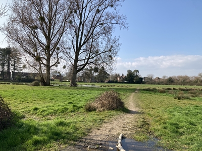 of the field behind Charlton Cottage. OS Ref : SU.1780.2373
Photo : AVP-5b-16 Date : 5 March 2025 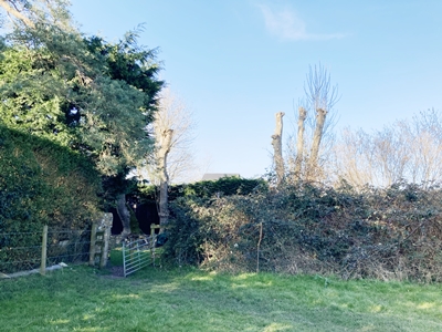 Immediately beyond the gate is a small turnstile. Pass through and turn left OS Ref : SU.1768.2377 Note that the route on the map is
Photo : AVP-5b-17 Date : 5 March 2025 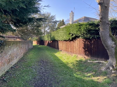 Field House to the end where it meets Lower Lane. OS Ref : SU.1767.2377
Photo : AVP-5b-18 Date : 5 March 2025 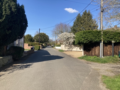 and go along Lower Lane. OS Ref : SU.1763.2379
Photo : AVP-5b-19 Date : 5 March 2025 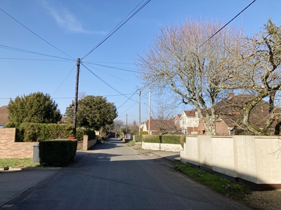 OS Ref : SU.1763.2385
Photo : AVP-5b-20 Date : 5 March 2025 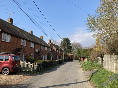 OS Ref : SU.1764.2397
Photo : AVP-5b-21 Date : 5 March 2025 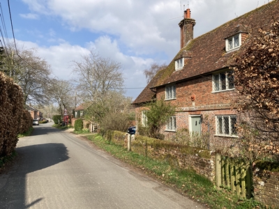 which has a stone dated 1692. OS Ref : SU.1765.2403
Photo : AVP-5b-22 Date : 5 March 2025 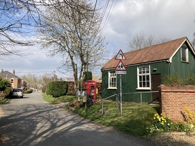 in Lower Lane is not known. OS Ref : SU.1766.2407
Photo : AVP-5b-23 Date : 5 March 2025 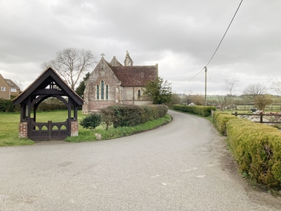 OS Ref : SU.1767.2410
Photo : AVP-5b-24 Date : 5 March 2025 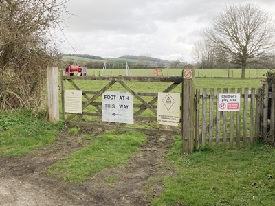 OS Ref : SU.1760.2412 The map incorrectly shows the path
Photo : AVP-5b-25 Date : 5 March 2025 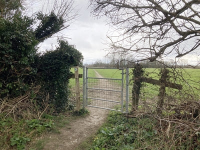 houses, through a gate into the field beyond. OS Ref : SU.1750.2411
Photo : AVP-5b-26 Date : 5 March 2025 |