Verwood Village Scenes
Burnbake Road
1976
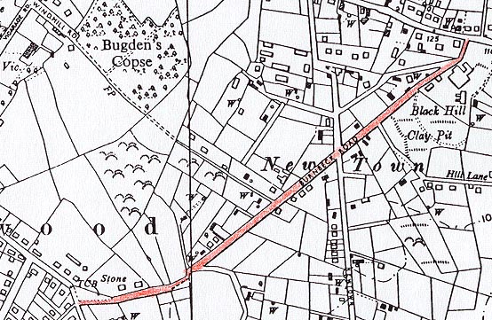
Verwood Village Scenes
Burnbake Road
1976

 |
||
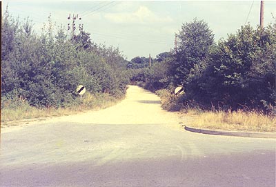 |
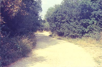
The start of Burnbake Road looking down from Manor Road. The Ordnance Survey map shows this as being called Burnbeck Road. 8 August 1976 [1/M/3] |
|
 |
||
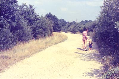 |
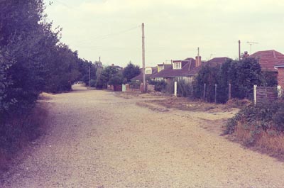
About 100 yards down from the junction with Manor Road. 8 August 1976 [1/M/4] |
|
 |
||
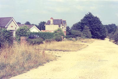 |
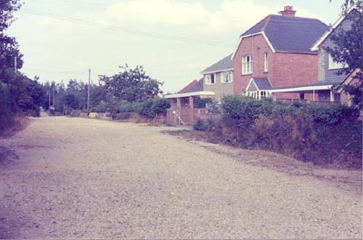
The bungalows are numbers 17 and 19 and the house is number 21. 8 August 1976 [1/M/5] |
|
 |
||
 |
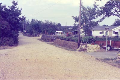
Looking back at the bends towards number 21. 8 August 1976 [1/M/6] |
|
 |
||
 |
Taken from the junction with The Grove. The bungalows with the dormer windows are numbers 24, 26 and 28. Verne Road goes off to the right between numbers 30 "Newlands" and 32 "Beverley". 8 August 1976 [1/M/15] |
|
 |
||
 |
The red house is number 42 and the pebbledash house beyond it is number 44 "Bramleys". Bugdens Lane goes off to the left just at the edge of the picture. 8 August 1976 [1/M/13] |
|
 |
||
 |
The bungalow in view is number 50 "Little Patch" and the van is parked in the drive. The house behind is number 44 Newtown Road. Newtown Road can be seen where it crosses by the speed restriction signs. 8 August 1976 [1/M/12] |
Continue to Burnbake Road since 1976
Return to the top of the page.
Return to the Verwood scenes index.
Return to the Verwood Front Page.
Copyright © Malcolm Smith 1999