Verwood Village Scenes


Bugdens Copse

Including Bugdens Lane and Copse Road

1976


The start of Bugdens Lane off Burnbake Road.

12 September 1976      [1/S/15]

House number 19 in the process of being built.

12 September 1976      [1/S/16]

The hedge on the right has gone and house numbers 24 and 26 now stand in that area.

12 September 1976      [1/S/17]

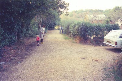
The end of Bugdens Lane.

12 September 1976      [1/S/19]

This gentle rural scene was immediately to the right from the picture above.

12 September 1976      [1/S/18]

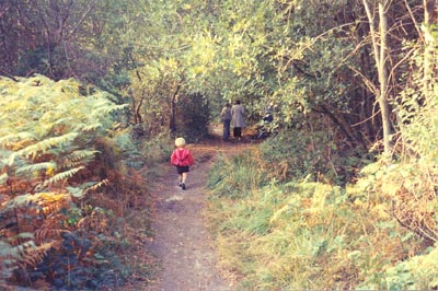
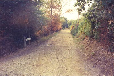
The beginning of Bugdens Copse. Beyond the area to the left is where Safeways now stands.

12 September 1976      [1/S/20]

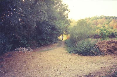
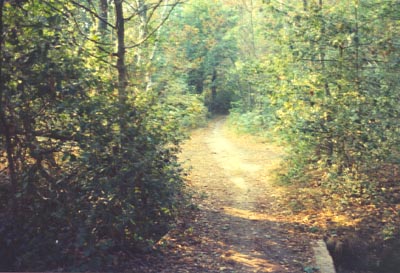
Getting into the copse.

12 September 1976      [1/S/21]

Crossing the ditch halfway through the copse. The ditch was put into pipes on the left-hand side when Safeways was built.

12 September 1976      [1/T/1]

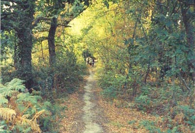
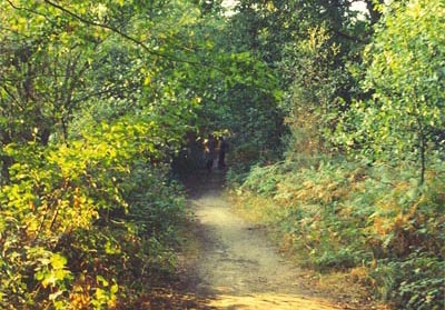
The trees are a bit thinner just ahead.

12 September 1976      [1/T/2]

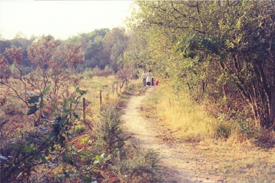
Almost at the top end of the copse.

12 September 1976      [1/T/3]

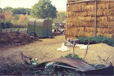
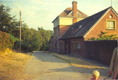
"The Old Coach House" and "The Old Stables" in Copse Road.

12 September 1976      [1/T/4]

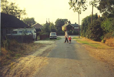
Copse Road looking up towards Vicarage Road.

The Ordnance Survey map of 1963 shows Copse Road as being called Windmill Road. This was undoubtedly correct as there was a wind-driven artesian well near the road.

12 September 1976      [1/T/5]

 
Continue to  
Bugdens Lane since 1976

Return to the top of the page.
Return to the Verwood scenes index.
Return to the Verwood Front Page.

Copyright © Malcolm Smith 1999